Archaeology isn’t just about people, it’s also about places. In fact, one thing that makes archaeology so important is that it can tell us about how entire landscapes looked in the past. It helps us understand why people lived where they did, the food they were eating, the materials they had access to for building houses and much more.
‘People, plants, animals and the material of the earth itself all play their role in shaping and being shaped by each other’ (Archaeological Theory in the New Millennium, Harris and Cipolla, 2017, p. 164)
So how do we find out what landscapes looked like in the past? Of course, we can excavate settlements, and see evidence of farming in the remains of cultivation trenches, or medieval ridge and furrow. But what about forests and open fields, or rivers and boggy ground?
Welcome to vegetation modelling!
As part of our work on the A14 Cambridge to Huntingdon National Highways scheme, we took over 9000 samples for paleoenvironmental analysis. This includes plant and charcoal remains, insects, and different types of soil such as peat. By looking at soil types and weeds, we can tell the types of crops which were being grown, even if we don’t have any remains of those crops in the samples.
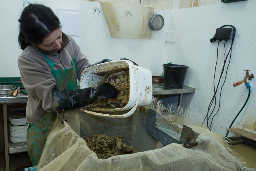
Processing environmental samples from the A14 excavations
The samples were all carefully examined by specialist environmental archaeologists. The results of their analysis tell us all about the plants and trees growing across the whole A14 scheme from the Bronze Age (c. 2500 BC – 800 BC) to the Early Medieval period (c.410 AD – 1066).
Now we know what natural resources people had, such as types of wood, and what crops could be grown, we can understand a lot more about how people worked and lived in the landscape. As different plants like different conditions, what was growing also tells us about the wider environment, even the weather! From this we can begin to reconstruct the “lived environment” of the past.
Here are some of our fascinating findings:
Brampton Woods are 3000 years older than previously thought! Not only were trees there in the Bronze Age, but they were being actively managed as a woodland resource. This is an amazing discovery! It not only completely changes our understanding of Cambridgeshire’s landscape in the past, but it tells us a lot about the communities who inhabited the landscape and how they not only made use of natural resources but put in a lot of work to maintain those resources.
There were Bronze Age hedgerows in Cambridgeshire. Like Brampton woods, this tells us a lot about the Bronze Age farmers. The hedges show that they were clearing land to grow crops in a very organised way, with clear boundaries between the fields separating livestock from crops.
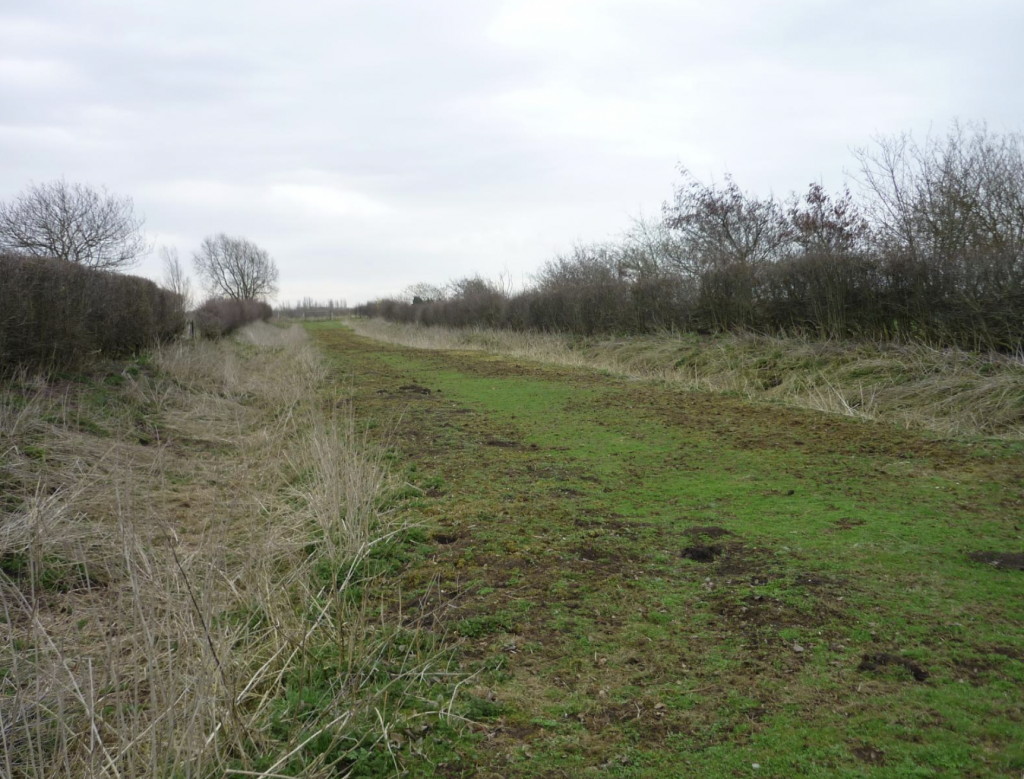
Hedgerows
28% of the landscape across the whole A14 scheme was woodland in the Bronze Age. By the late Iron Age (c.100 BC – 43 AD) this was down to between 8-11%. Whilst this was partly due to trees being cut down to make room for growing crops, or to clear spaces for settlements, it was also because of increased flooding. This was caused by rises in sea levels in the Bronze Age and Iron Age, which affected the whole country.
In the Bronze Age, the trees were mainly oak, elm and hazel. By the end of the Iron Age there was a much wider range of trees, including ash, holly, beech, and alder.
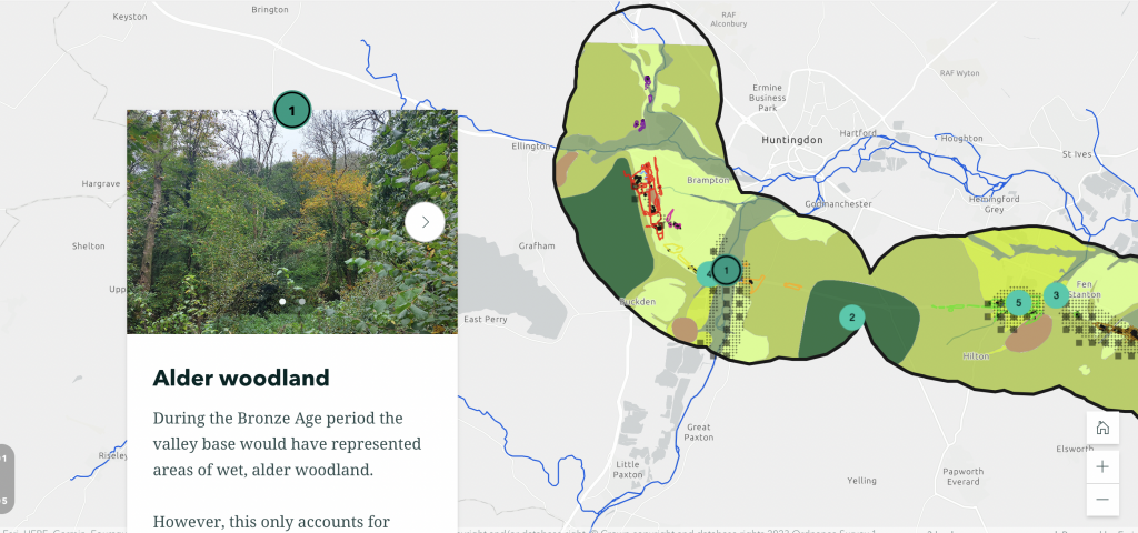
Find out more about Bronze Age woodland in Cambridgeshire in the new storymap
During the Early Medieval period, farming activity became much more centralised. We know this because we can see a change in the soil types, pollen and weeds in our samples in comparison to earlier dates. This gives us a lot of new questions: for example, what does this tell us about the population of the area and farming practices in that time period? We can use our other archaeological findings to hopefully answer these questions!
Want to find out more about vegetation mapping and the past landscape of Cambridgeshire, including the types of plants which were grown and the different environments they flourished in? You can discover all that and much more in a storymap created by our environmental archaeologists HERE.
Join us on our journey!
#A14Archaeology
Find out more about the A14C2H improvement scheme
The archaeological programme for the Cambridge to Huntingdon National Highways scheme is being carried out by A14 Integrated Delivery Team on behalf of National Highways.
0 Comments
Leave A Comment