In: Discover A14C2H News
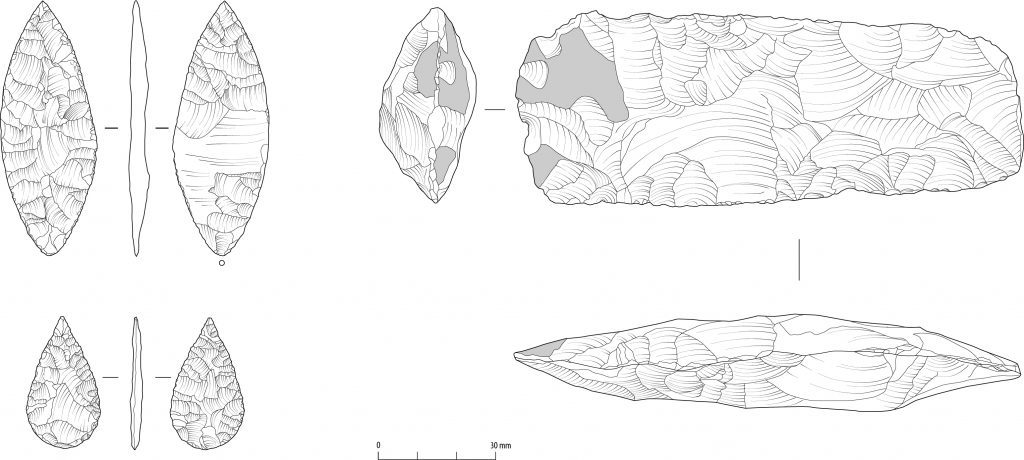
What can stone tools tell us about prehistoric lives on the A14?
April 29, 2022The further we travel back in time, the harder it becomes to read the traces left by our ancestors. While we have a wide variety of objects, buildings, and even written materials dating to our recent past, not as much survives from the Stone Age (c. 500,000-2200 BC). We have…
Read More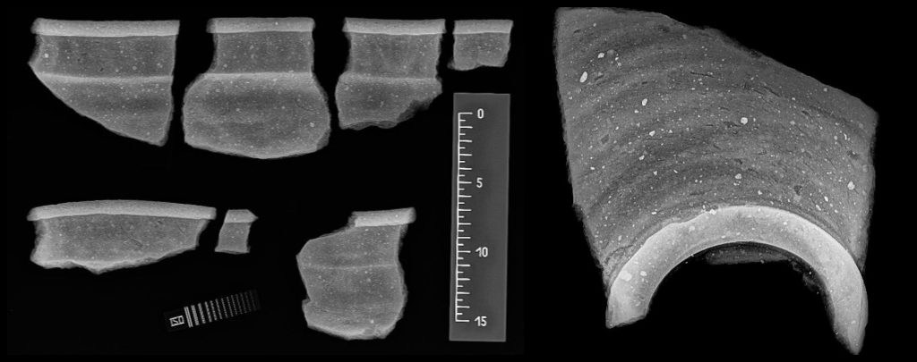
X-rays grant vision into the past – What we found out X-raying ancient pottery from the A14 (and why we did it)
February 24, 2022Excavations on the National Highways A14 Cambridge to Huntingdon Road Improvement Scheme may be complete, but we’re continuing to study the incredible amount of finds unearthed. Now, when you think about X-rays you probably imagine hospitals and airport security rather than archaeology and ancient pots. However, recently more than 100…
Read More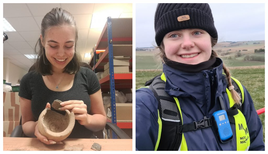
Pots and metals along the A14 – Masters students reflect on their National Highways and MOLA Headland studentship
January 6, 2022Back in 2020, Jemma Moorhouse and Lanah Hewson were each awarded an MA Scholarship funded by National Highways at Reading University. This included a placement to work with MOLA Headland on the archaeological excavations that formed part of the A14 Cambridge to Huntingdon Road Improvement Scheme. Having now completed their…
Read More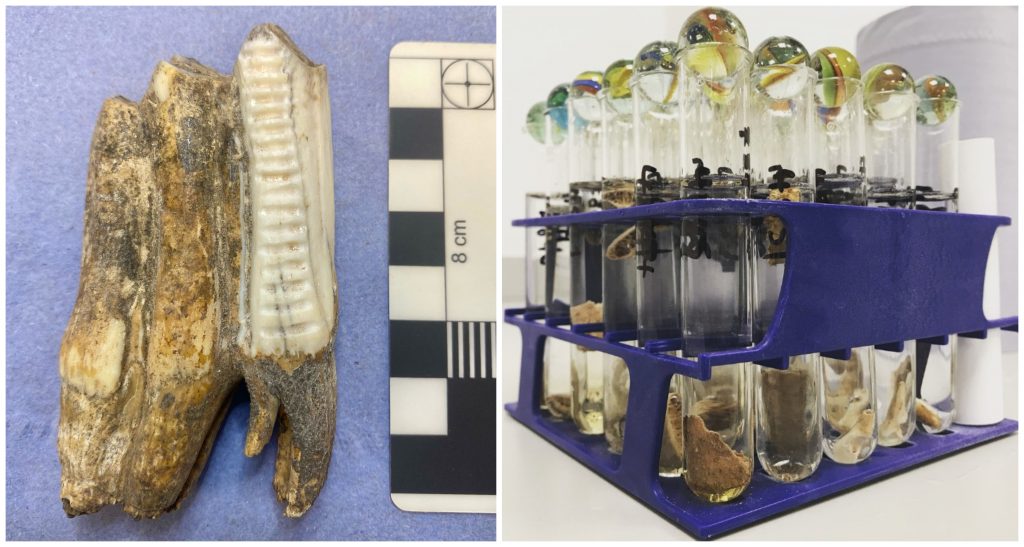
Nifty neutrons – isotope analysis on the A14 Cambridge to Huntingdon National Highways scheme
November 2, 2021Isotope analysis makes it possible to understand past environments and the human diet by using information taken from a single tooth, bone or plant grain. This revolutionary technique is being used by Professor Janet Montgomery and Dr Joanna Moore (of Durham University) on materials found during the A14 Cambridge to…
Read More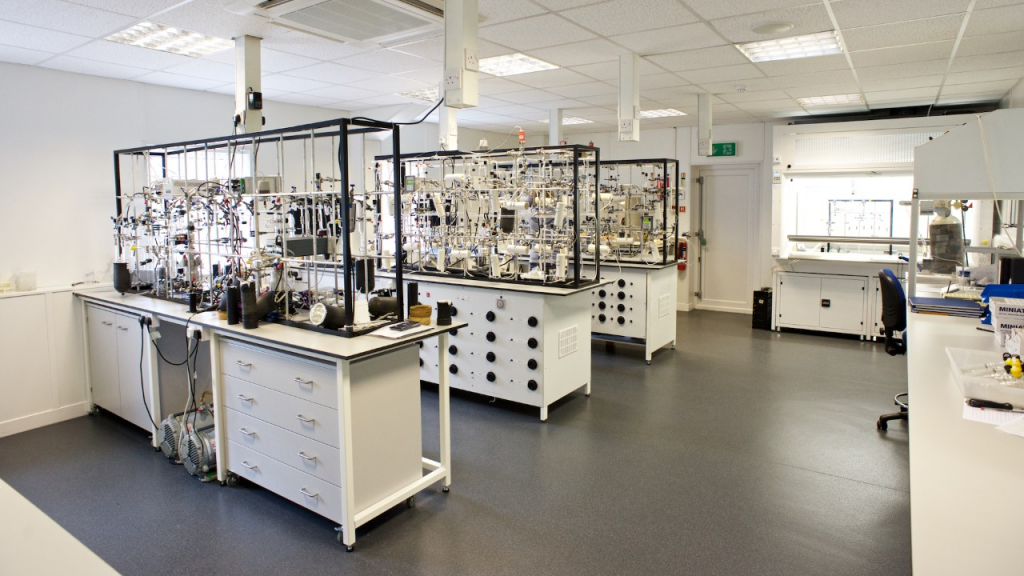
Radiocarbon dating on the A14 Cambridge to Huntington Improvement Scheme
May 17, 2021Radiocarbon dating is a key tool that is allowing us to more precisely understand the chronology of archaeological sites and features across the A14 Cambridge to Huntingdon improvement scheme. Over 400 radiocarbon samples have been sent to the Scottish Universities Environmental Research Centre (SUERC), giving us dates for features such…
Read More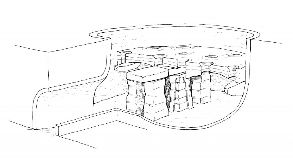
‘What have the Romans ever done for us?’: the Roman Ceramic Revolution in Cambridgeshire
March 18, 2021The numerous archaeological surveys we have carried out on the A14 Cambridge to Huntingdon improvement scheme have revealed a huge range of archaeology, dating from the earliest hunter-gatherers to the Second World War. Most recently, excavations by MOLA Headland Infrastructure have revealed new insights into the Roman Ceramic Revolution in…
Read More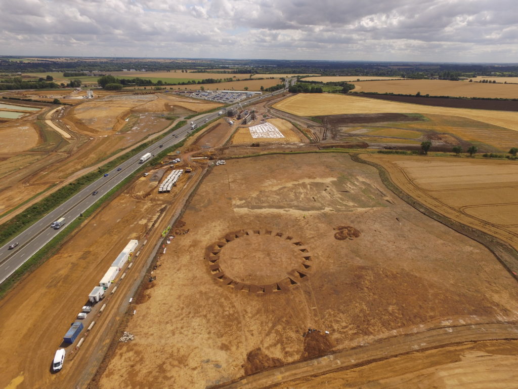
Fully-funded Highways England Master’s Studentships on the archaeology of the A14C2H
January 7, 2021From July 2021 we will be welcoming two Archaeology Master’s Students to MOLA Headland Infrastructure as part of an exciting MA Studentship opportunity, funded by Highways England and delivered in conjunction with the University of Reading. The award-holders will spend the first 12 weeks of their programme (July-September 2021) on…
Read More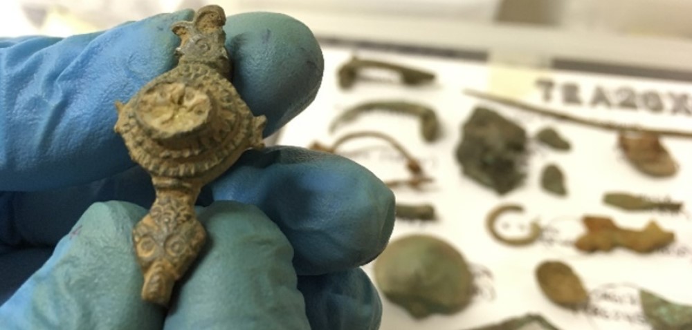
Highways England and MOLA Headland provide learning opportunities for Archaeology Masters Students
December 15, 2020“It sounds like everything I could have dreamed of” were the thoughts of Lanah Hewson when she applied for an exciting MA Studentship opportunity with MOLA Headland Infrastructure in January 2020. Six months later, Lanah and fellow Archaeology masters student and successful applicant, Jemma Moorhouse, had joined the company and…
Read More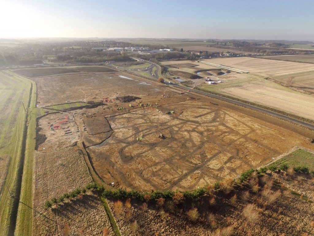
The road ahead: making sense of twelve thousand years of archaeology along the A14 in Cambridgeshire
September 29, 2020Our efforts to uncover the secrets of the Cambridgeshire countryside through the archaeology programme of the A14 Cambridge to Huntingdon improvement scheme have reached an exciting stage. We have started the main phase of analysis, with a project team of over 70 people spread all over the country looking at…
Read More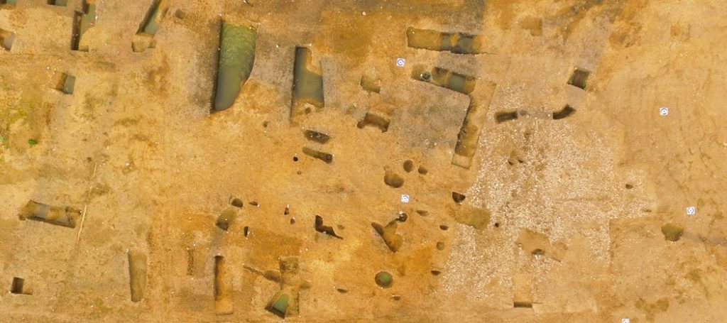
Tracing lost Roman bath houses and ancient tile trade networks on the A14C2H scheme
January 6, 2020Now that excavations on the A14 Cambridge to Huntingdon improvement scheme are complete, it is over to our specialists to reveal the finer details and significance of what has been uncovered. In this blog, MOLA Headland specialist Ian Betts shares why tiles found near Offord Cluny may hint at a…
Read More